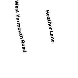
954 WEST YARMOUTH RD
Owner Information
LUCIDO MELANIE A
954 W YARMOUTH RD
YARMOUTH PORT, MA 02675 1948


Property Details
954 WEST YARMOUTH RD is classified as a Single Family Residential (Cape cod).
The primary structure on this property was built in 1969. There are 2,864ft2 of built area within this property. There is 1,296ft2 of residential/living space within this property.
954 WEST YARMOUTH RD is valued at $349,100. The land is valued at $113,300 and the structures are valued at $233,500. There is an additional valuation of $2,300 on this property.
The most recent deed for 954 WEST YARMOUTH RD is recorded at the local registrar in Book 15733, Page 59. 954 WEST YARMOUTH RD was last sold on Friday, October 11, 2002 for $0.
Assessment data from fiscal year 2022.
Flood Data
According to the FEMA National Flood Hazard Layer, this property does not appear to be in a flood zone. It may also be in an area not yet reviewed. Nonetheless, confirm this information prior to taking any action.
To view the flood hazards around this property, create a FEMA "Firmette" Map of the area around 954 WEST YARMOUTH RD.
Broadband Internet Providers
| Provider | Type | Bandwidth (mbps) | |
|---|---|---|---|
| Viasat Inc | Satellite | 35 | 3 |
| Verizon New England Inc. | DSL | 5 | 0 |
| Comcast | Cable | 1000 | 35 |
| T-Mobile | Fixed Wireless | 25 | 3 |
| GCI Communication Corp. | Satellite | 0 | 0 |
| HughesNet | Satellite | 25 | 3 |
| VSAT Systems, LLC. | Satellite | 2 | 1 |
Broadband service provider data from December 2020.
Adjacent Properties
- 948 WEST YARMOUTH RD
Single Family Residential owned by MARSHALL PATRICK H - 958 WEST YARMOUTH RD
Single Family Residential owned by GENOA MICHAEL J - 33 HEATHER LN
Single Family Residential owned by JULIANI ANTHONY A JR TRS - 23 HEATHER LN
Single Family Residential owned by DERY RUSSELL P - 29 HEATHER LN
Single Family Residential owned by SNOW ROBERT M JR